



Mountain and hillside clearing
Define the work area, retain the trees that belong and prepare for the next stage of the project.
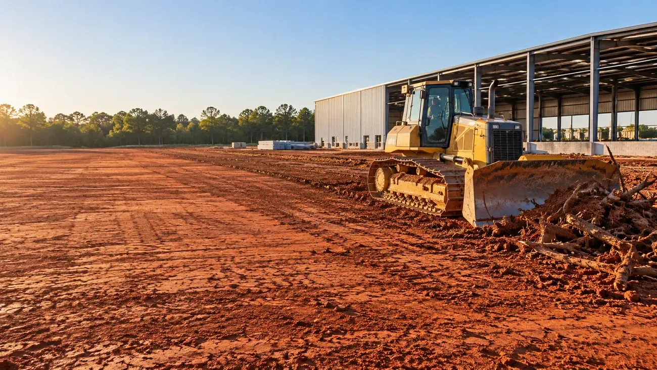
WHITE COUNTY, GEORGIA
White County regulates slope at 25 percent with zero elevation floor, a stricter line than the state's own mountain protection rule.
LOCAL GROUND. A PLAN THAT FITS.
Georgia's Mountain Protection Act kicks in at 2,200 feet elevation and 25 percent slope together. White County skips the elevation test entirely: once a hillside hits 25 percent slope, it falls inside the county's protected district, whether it sits at 3,000 feet or 1,700. A lot that would clear the state's bar can still land squarely inside the county's.
That changes what a hillside lot is allowed to disturb. The steeper the average slope, the smaller the share of the lot that can be touched and the smaller the share that can go impervious; a 25 to 29 percent slope caps disturbance at 30 percent of the lot, and ground over 40 percent caps it at 17 percent.
We run the county's own slope formula against the parcel before we talk about site layout, because the number decides what's buildable before the design does.
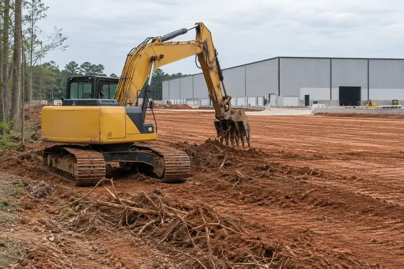
BUILT AROUND YOUR PROPERTY
Define the work area, retain the trees that belong and prepare for the next stage of the project.

Work to the site elevations and plan for stable ground, runoff and access.

Clear and grade a single building pad to the footprint and access the house plan calls for.

Check the property boundaries and protected areas before laying out the work.
BUILT AROUND THE CONDITIONS
A White County parcel can carry the state's 25-foot buffer, a 50-foot trout buffer where the creek is designated, a 100-foot natural buffer inside the protected river corridor, and a 100-foot buffer plus an additional 150-foot setback where building is prohibited, where the parcel sits in the Turner Creek water supply watershed, all at once. Inside Cleveland city limits a separate 15-foot buffer applies, measured from the creek's centerline rather than its bank.
Every layer that applies stacks; the tightest one controls. We check the parcel against every layer before quoting, since the strictest one governs regardless of which others get missed.
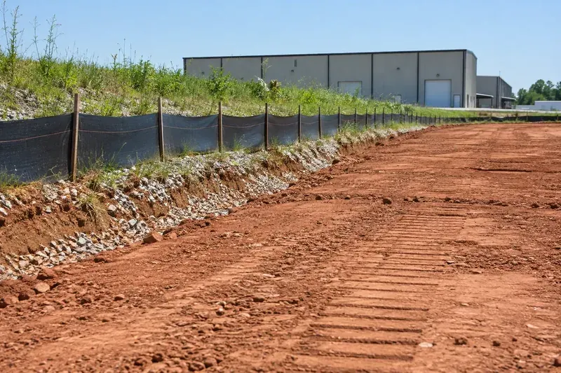
BEFORE THE WORK STARTS
The single largest soil map unit in White County is Tallapoosa on slopes running 25 to 70 percent, and it carries only 10 to 20 inches of ground before hitting rock. The same parcel can sit on Hayesville soil nearby that runs 60 inches or deeper before bedrock, so a single mountain lot can swing from deep saprolite to shallow rock within a few hundred feet.
That's a scope-and-price question more than a soil-chemistry one, and it's why we walk the whole building envelope before quoting rather than pricing off one test hole.
PLAN THE WORK BEFORE IT STARTS
White County is growing faster than its own county seat, 9.3 percent since 2010 against Cleveland's 5.1 percent, and nearly all of that growth is landing outside city limits, exactly where the mountain protection rules apply.
Median home values and household income here run well above the state average, which tracks with what the permit data shows: this is custom, rising-value home construction on scattered mountain and second-home lots rather than production subdivisions.
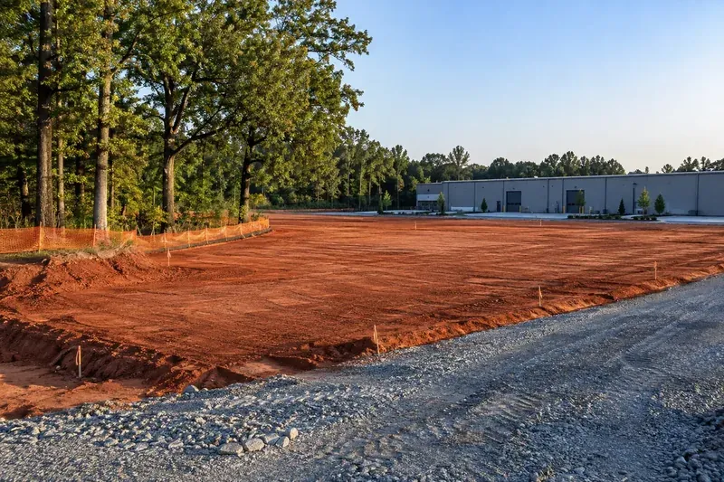
PLAN THE WHOLE JOB
Land clearing runs by the acre once we've walked the site. Burning what comes down starts at $10,000 per acre; grinding with the mulch left on site runs about $13,500 per acre, or about $16,000 per acre if we haul the chips off. Steep-slope lots price separately once we know the average grade, since that number sets both the disturbance cap and how much cut-and-fill stabilization the site needs.
From $10,000 / acre
Clearing with on-site burning, where permitted.
About $13,500 / acre
Grinding with the mulch remaining on the property.
About $16,000 / acre
Grinding with the chips removed from the site.
WHITE COUNTY, GEORGIA
Tell us where your Cleveland-area project is and what you’re planning. We’ll work through the land clearing & grading scope with you.
We confirm the jurisdiction and the conditions that apply to your property before finalizing the work.
Start with the property and what you want to do. We’ll help you work through the details.
GO STRAIGHT TO THE SOURCE
Share your White County site address so we can assess the slope, buffers and clearing limits before putting the scope in writing.